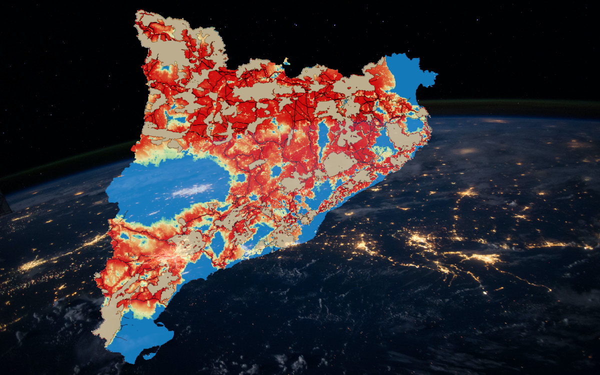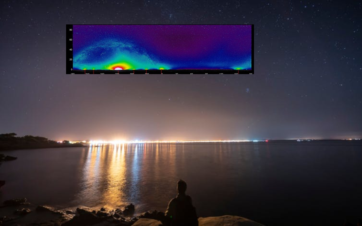
2021. Modelling Light Pollution Dome over Coastal Marine Reserves
To gauge the impact of offshore light pollution on marine habitats, we use satellite images to measure the amount of artificial light that spills over across the mediterranean network of marine protected areas. We then fit a mathematical model to better understand the propagation of stray artificial light around urban regions.